CONSTRAINTS PLAN
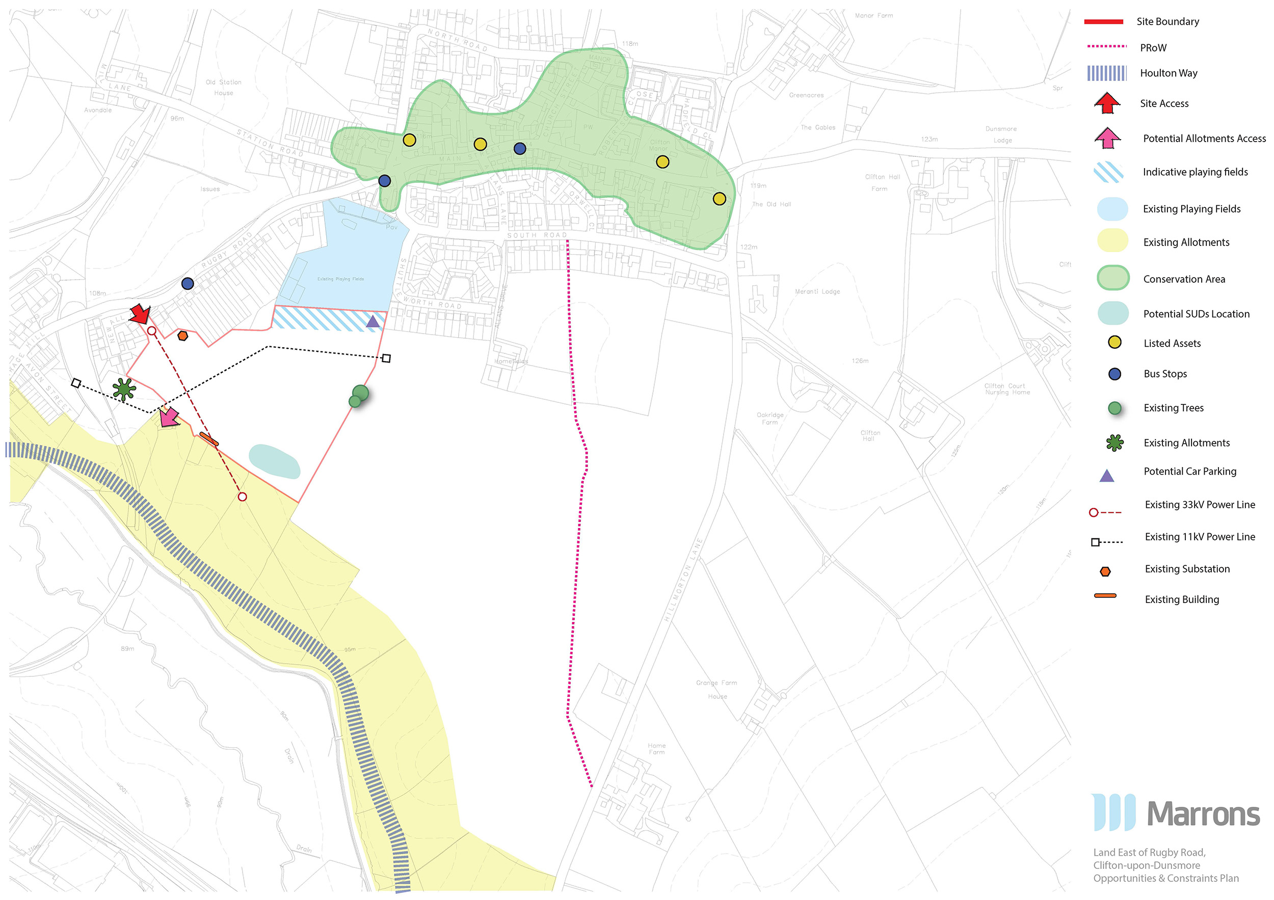
The site is located to the south west of Clifton-upon-Dunsmore, and to the east of Rugby. The site comprises approximately 8 hectares of farmland adjacent to residential development and Clifton Recreational Ground.
The site is well placed for growth, benefiting from access to facilities and amenities offered by both Clifton and Rugby. The Flexibus bus route 9 provides public transport links from Clifton into Rugby.
The masterplan has been informed by an appraisal of the opportunities and constraints as shown on the plans on this page. There are opportunities for:
There are few constraints to development:
The site is located within Rugby Borough Council’s authoritative boundary. In the Borough Council’s most recent planning committee meeting, the Council admitted they could not demonstrate a 5 year housing land supply – the Government’s measurement of whether local authorities are providing enough housing to supply the demand. Richborough are proposing 160 new homes, including affordable housing, to help reduce the Council’s housing shortfall.